How to Create a Site
In this subsection you will learn how to view, edit and create a site
As seen in the menu on the left hand side, all new datasets contains a predefined site titled Site Name. You will see the following page when selecting this site by clicking on it. When a site has been selected, it can be edited easily by making alterations directly in the input fields.

How to Create a New Site
A new site can be created by clicking the Add button, which is marked with a one in the figure above. When doing so, a new site will be added to the menu on the left hand side and a new pin will become visible in the map to the right. The new location will have the same input fields as the main site, seen in the figure above, except for the geomagnetic model.
NOTE!
All well locations defined within a dataset will be visible as black or blue pins in the map on the right hand side, which is displayed when a site as been selected from the menu.
The geodetic datum, input type and geomagnetic model is described briefly in the following sections.
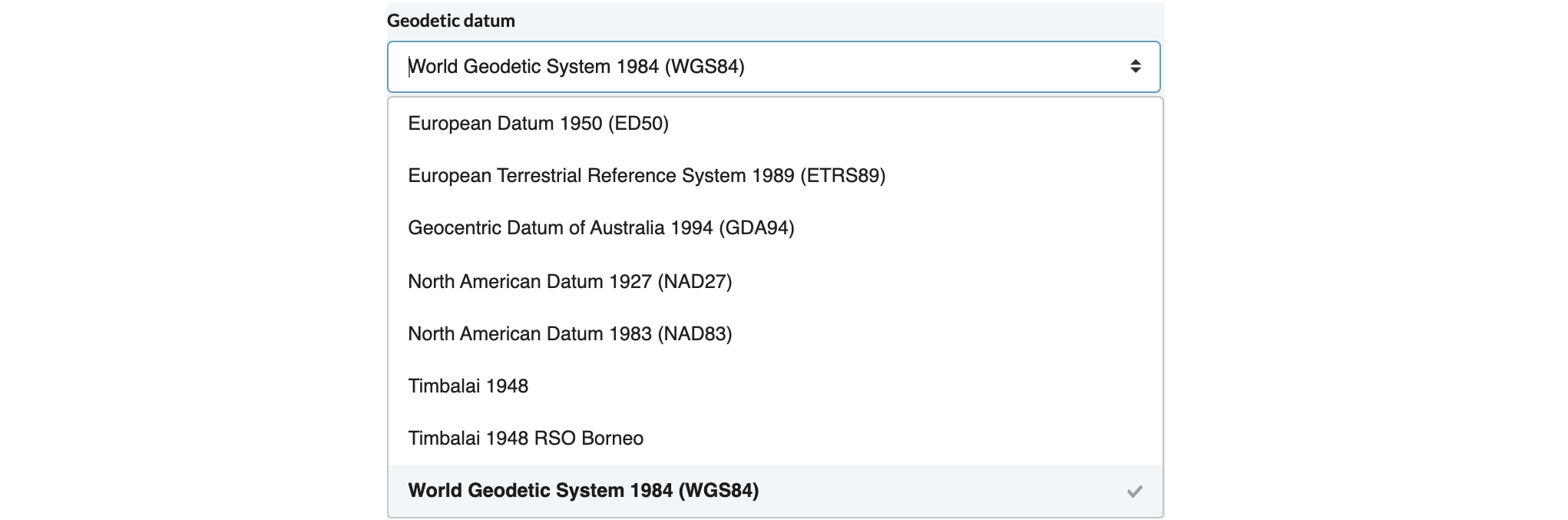
Geodetic Datum
This input field lets you select the reference system that is to be used for describing positions on the curved surface of the Earth, i.e. the geographic coordinate system. In Oliasoft WellDesign™, you can choose between the following geodetic datums.
Input Type
This input field lets you select the reference system that is to be used for describing positions on a flat surface, i.e. the projected coordinate system. In Oliasoft WellDesign, you can choose between the following projections.

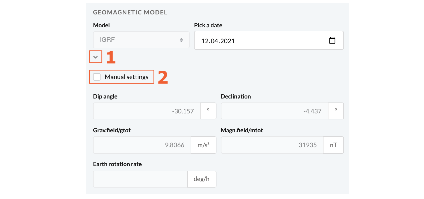
Geomagnetic Model
This input field lets you select the geomagnetic model which is to predict the magnetic field of the Earth. Currently, the International Geomagnetic Reference Field (IGRF) is the only geomagnetic model to be applied in Oliasoft WellDesign.
The geomagnetic model is only defined for the main site, where you should select a date that is to be used when retrieving the magnetic field of the Earth.
NOTE!
By clicking the button marked with a one in the figure, you can view the geomagnetic data retrieved from the IGRF model for the selected date.
NOTE!
By clicking the button marked with a two in the figure, you can input the geomagnetic data manually.
How to Delete a Site
A site can easily be deleted by clicking the Trash Can button next to the name of the site. A dataset must always contain a main site and therefore, it is only possible to delete additional sites. Though, the main site parameters can be edited to your needs.